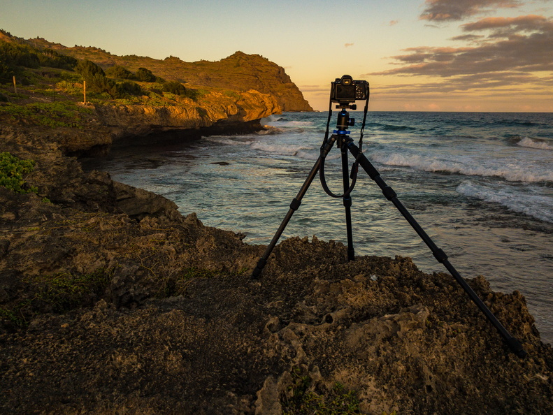
Camera position for photographing the lunar eclipse over Kawelikoa Point, Kauai. Planning for the eclipse was done using The Photographer's Ephemeris on my iPad, with on-site confirmation using the augmented reality mode of PhotoPills.
The eclipse was on the first full day of my first visit to Kauai, so I wasn't sure how it would work out, nor was I sure how to get to the location I selected. My wife and I did some advance scouting the afternoon before, but only had time to go partway. The full hike from the end of the dirt road where I parked ended up being a little over a mile, over a combination of beach and trails.
I benefitted tremendously from OpenStreetMaps maps that I downloaded to my GPS app, MotionX-GPS. The maps had excellent coverage of the trails, and allowed very efficient route-finding. I recorded my track to the shooting location so I could retrace my steps back to the car in the darkness of the total eclipse.
- Author
- Matthew P. Hunt
- Created on
- Sunday 20 January 2019
- Posted on
- Wednesday 6 February 2019
- Tags
- 2019 lunar eclipse, Apple iPhone, Astrophotography, Bluff, Cliff, Clouds, Coast, Eclipse, iPhone, iPhone 10, iPhone X, Lunar eclipse, Moon-of-Many-Adjectives, Ocean, Phones, Photographic equipment, Sun, Sunset, Super Blood Wolf Moon, Super Wolf Blood Moon, Total lunar eclipse, Water, Waves
- Albums


0 comments